
PRODUCTS
Unmanned Water-Rescue Vessel
Unmanned Water-Rescue Vessel · HXY-Ⅱ
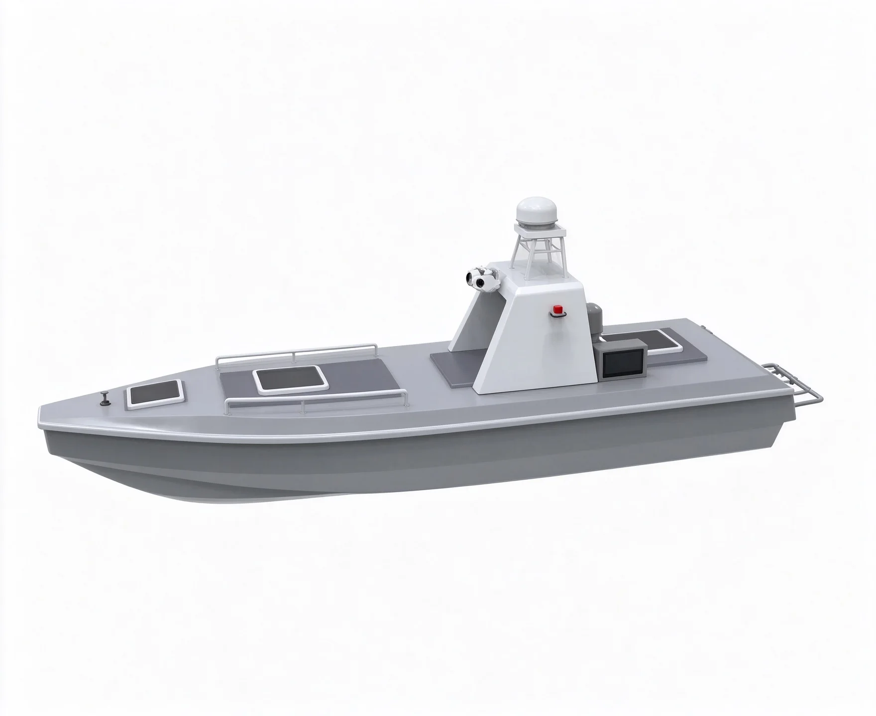
Model · HXY-Ⅱ CCS Certified
Unmanned Water-Rescue Vessel
Unmanned Water-Rescue Vessel · HXY-Ⅱ
Product Description
A trimaran-hull unmanned rescue vessel with a top speed above 7 m/s. Ducted propulsion with no rudder, dual local/remote data storage, built-in dual-mode eSIM, and automatic reverse to escape shallows.
Specifications
The Unmanned Water-Rescue Vessel is part of CETIG's product range, developed for demanding water-rescue and maritime safety operations. Key technical data are listed below.
Hull system
| Hull design | Trimaran hull with rubbing strakes; resists Beaufort 3 wind and sea state 2; IP67 watertight |
|---|---|
| Hull length 110–130 cm; hull weight ≤ 15 kg; maximum load ≥ 40 kg | |
| Maximum vessel speed | ≥7m/s |
| Motor thruster | Ducted thrusters without rudder steering; max ≥ 7,200 rpm; plug-in mounting, easy to replace, adaptable to more water conditions |
| Data storage | Local (multi-channel) and remote storage ensure data is never lost |
| Mobile communication | Built-in eSIM + Nano dual communication module, with additional interfaces |
| Built-in single-beam echosounder works alongside an ADCP for simultaneous bathymetry and cross-section flow measurement, | |
| IP rating (main controller) | ≥IP67; |
| Protection functions | Automatic reverse in shallows, live video, low-battery and signal-loss auto return, and 360° omnidirectional video |
| Built-in mmWave radar, detection range ≥ 40 m | |
| Current measurement (adaptive to flow) | During flow measurement the vessel automatically adjusts bow attitude, heading and speed to keep a straight survey line |
Positioning & attitude system
| Main controller integrates positioning/heading board and INS module | |
| Satellite systems | Supports four satellite systems (BDS, GPS, GLONASS, Galileo) |
|---|---|
| Single-point positioning accuracy | Horizontal ≤ 1.5 m; vertical ≤ 2.5 m |
| RTK horizontal ≤ 8 mm + 1 ppm; vertical ≤ 15 mm + 1 ppm | |
| Heading function, accuracy ≤ 0.2° (1 m baseline) | |
Shore-based system
| Base-station communication | Supports radio, network and CORS |
|---|---|
| Remote controller range | Radio ≥ 2 km; 4G unlimited (network dependent); bridge ≥ 2 km |
| Data transmission | Supports bridge and 4G; video: 4G + bridge |
| Control mode | Supports manual and automatic modes |
| Shore station can be a standard laptop or Windows tablet, easy to maintain and replace | |
Vessel control software
| Total mileage statistics, remaining-range alerts, hydrological mode, one-key ADCP configuration and online firmware updates. | |
| Function modules | Autonomous navigation, vessel parameter control, multi-angle video display and coordinate transformation |
|---|---|
| Satellite base-map import for survey planning; power-on self-test | |
Bathymetry system
| Beam angle | 5°-8°; |
|---|---|
| Depth measurement range | ≥0.15-300m; |
| Maximum sampling rate | ≥30Hz; |
| Operating frequency | Supports 200 kHz and 25 kHz dual frequency with real-time sound-velocity correction for better environmental adaptability. |
| Supports Bluetooth and Wi-Fi | |
| Depth measurement accuracy | Not less than ±1 cm + 0.1% h (h = water depth) |
| Main unit weight | ≤ 1 kg; lightweight, hull-mounted; depth measurement and shallow-water obstacle avoidance |
Related products
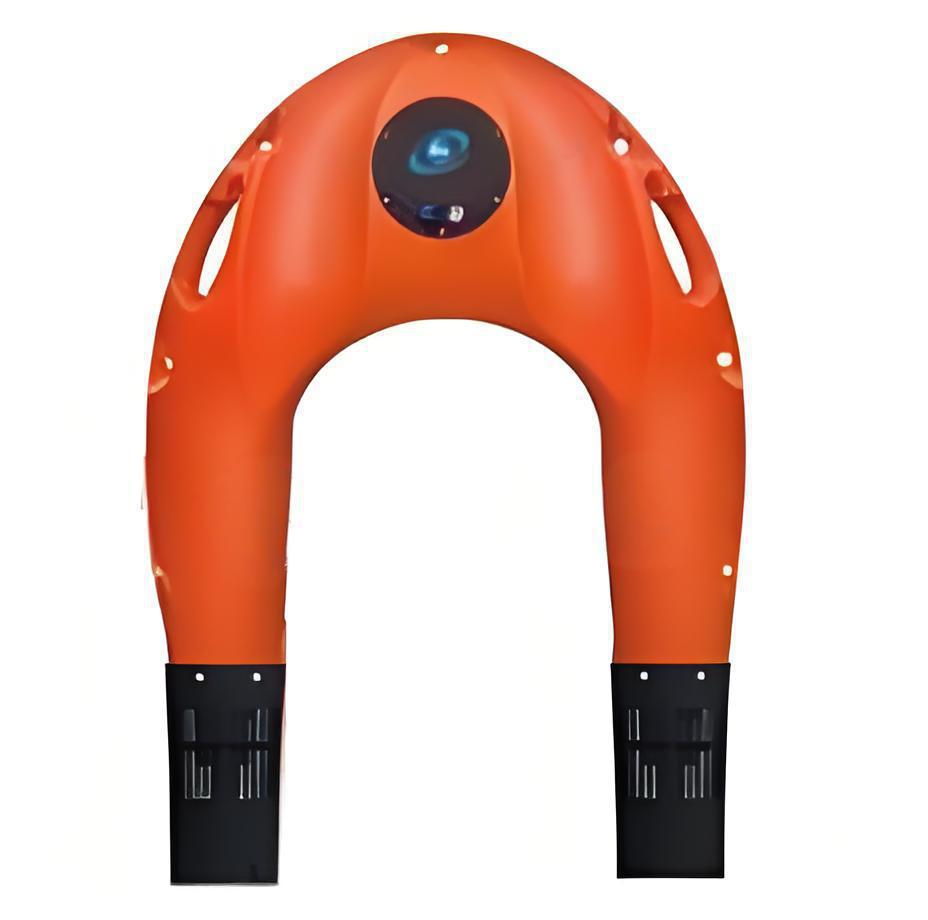
Intelligent Water-Rescue Flying Wing
Intelligent Water-Rescue Flying Wing · HXY-S-01
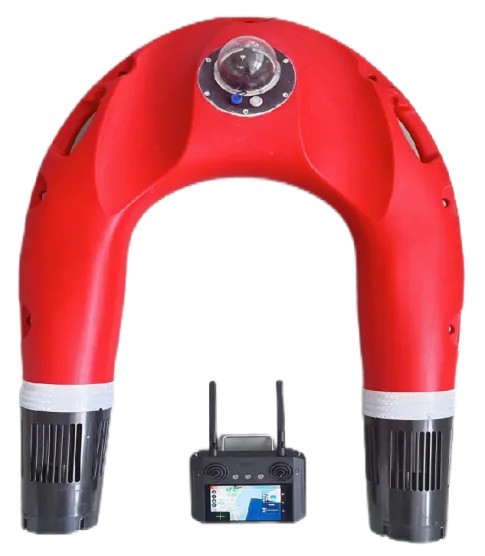
Intelligent Water-Rescue Robot
Intelligent Water-Rescue Robot · HXY-S-02 (dual-hand control, with cam
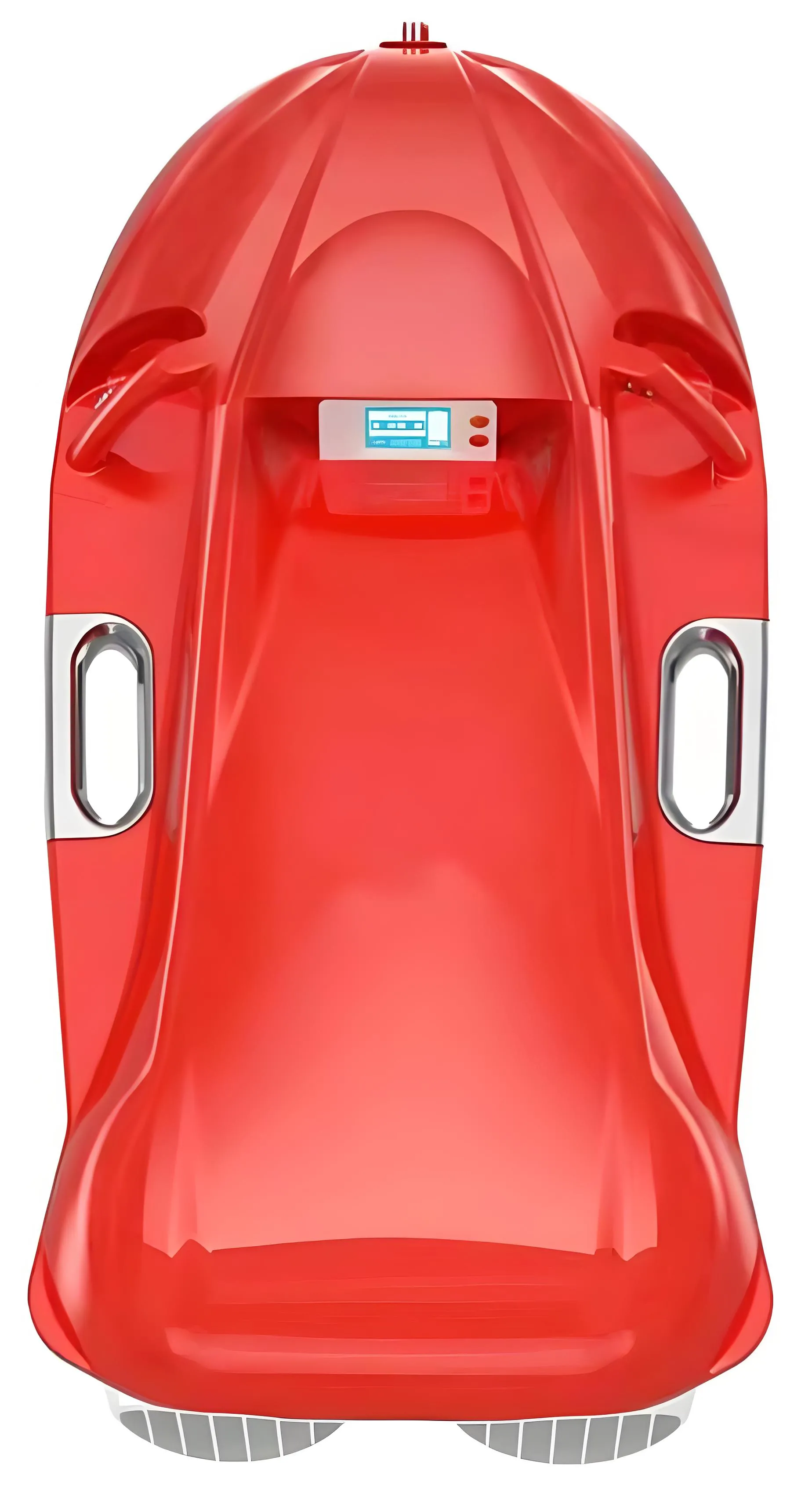
Surface Rescue Hovercraft
Surface Rescue Hovercraft · HXY-SXT
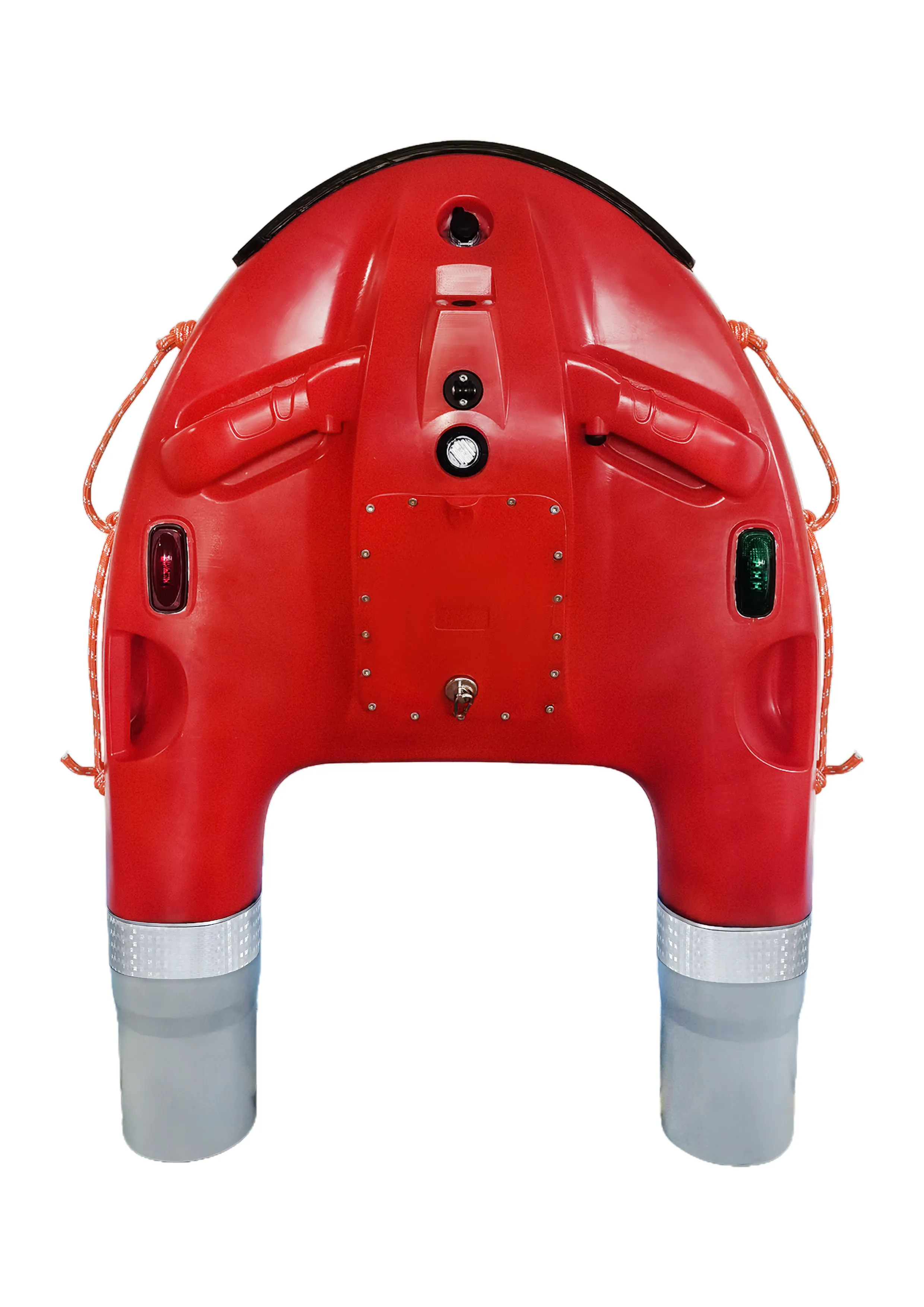
Intelligent Water-Rescue Robot
Intelligent Water-Rescue Robot · HXY-S-03