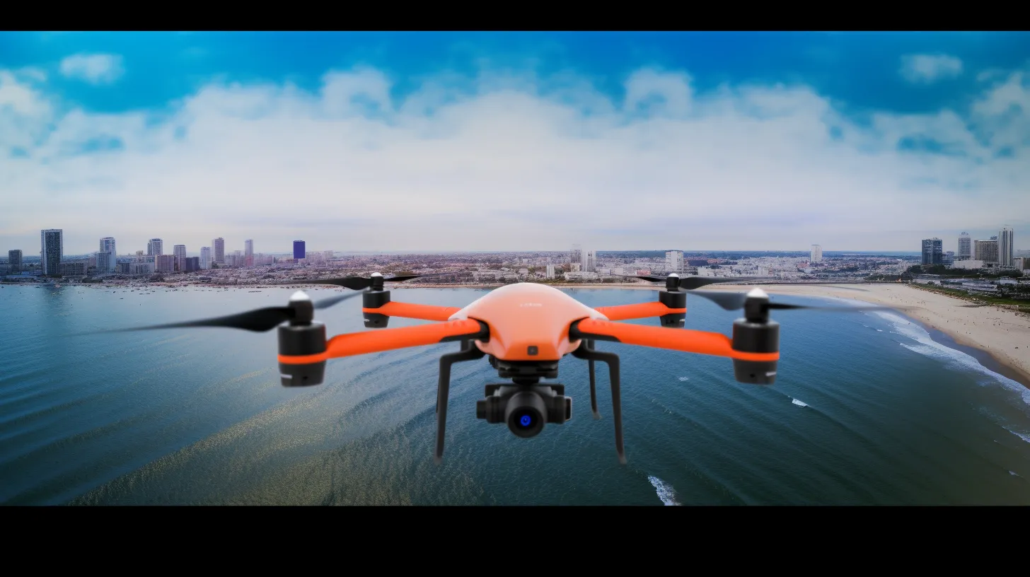
An unmanned survey vessel carrying bathymetric, optical and sonar payloads gives reservoir operators continuous, coordinated situational awareness.
The CETIG Smart Reservoir Management System uses autonomous cruise technology on an unmanned surface vessel, integrated with single- or multibeam echosounders, visible-light / infrared / thermal imaging, side-scan sonar and other payloads. It supports storage-capacity and sediment surveys, dam inspection, reservoir patrol and intrusion warnings.
Value and advantages
- Lower manpower requirements for routine inspection.
- 24-hour intelligent monitoring of banks, dam structures and the water surface.
- A complete, integrated management solution that supports multi-level coordination between departments.
System architecture
Data collected by the unmanned vessel is transmitted to a shore-side command platform, where survey results, inspection imagery and alarm events are consolidated into a single operational picture. The platform supports task scheduling, track replay, report generation and multi-department information sharing.
Unmanned vessel functions
The platform performs autonomous route following and obstacle avoidance, scheduled or on-demand cruising, bathymetric measurement, sediment accumulation analysis, bank and dam imaging, thermal anomaly detection and perimeter intrusion alerts. All mission data is time-stamped and geo-referenced so that changes can be compared over successive surveys.
By replacing periodic manual inspection with continuous, repeatable measurement, reservoir authorities gain earlier warning of structural change and a defensible evidence base for maintenance decisions.